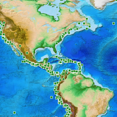
| NOAA Tsunami Reports Map |
| The National Geophysical Data Center has an online database of tsunami reports that can be accessed through an interactive map. The image above shows locations of reported tsunami observations along the eastern United States and through the Caribbean. If you visit their interactive map website you can query any point shown above for more information. NOAA image. |
No comments:
Post a Comment